
Today Slight Chance Showers And T-Storms |
Thursday Slight Chance Showers And T-Storms |
Friday Slight Chance Showers And T-Storms |
Saturday Slight Chance Showers And T-Storms |
Sunday Slight Chance Rain Showers |
Monday Sunny |
Tuesday Sunny |
|
| High: 83 °F | High: 83 °F | High: 78 °F | High: 79 °F | High: 79 °F | High: 79 °F | High: 80 °F | |
Tonight Mostly Clear |
Thursday Night  Partly Cloudy |
Friday Night Partly Cloudy |
Saturday Night Partly Cloudy |
Sunday Night Partly Cloudy |
Monday Night Mostly Clear |
Tuesday Night Mostly Clear |
|
| Low: 52 °F | Low: 51 °F | Low: 49 °F | Low: 50 °F | Low: 50 °F | Low: 49 °F | Low: 50 °F | |
Ben's WX Summary
- Updated: Wednesday @ 09:43am
A southerly flow continues to draw monsoon moisture into the region for a chance of showers and thunderstorms at times this week. Expect partly cloudy skies out there today, becoming mostly cloudy by afternoon with a shower or thunderstorm possible. We have experience some drying aloft, so any thunderstorms that develop today should be relatively isolated, but there's a chance! Warmer today as highs reach the lower 80s, south to southwest winds 5-15 mph during the afternoon. As high pressure expands a little further west, we'll draw additional moisture into the area Friday through the weekend for a chance of showers and storms, mainly during the afternoons. Cooler over the weekend as highs drop back into the 70s, while lows remain in the 50s. We'll stay on the western periphery of the monsoon flow through next week as high pressure remains near the Four Corners region. This should keep the door open for monsoon moisture and possible afternoon thundershowers.
| Current Conditions | Wind | Rain | Outlook | ||||||||||||||||||||||||||||||||||||
|
|
|
|
||||||||||||||||||||||||||||||||||||
| Humidity & Barometer | Snowfall | Moon | |||||||||||||||||||||||||||||||||||||
|
|
|
|||||||||||||||||||||||||||||||||||||
| UV Index | Solar Radiation | ||||||||||||||||||||||||||||||||||||||
|
|
||||||||||||||||||||||||||||||||||||||


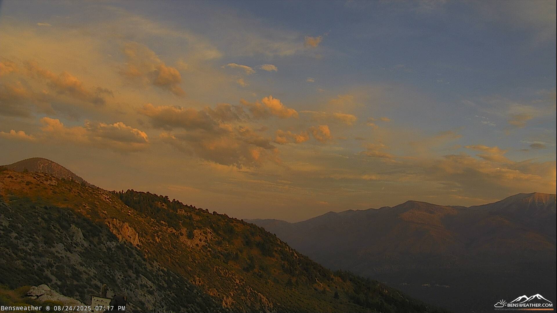
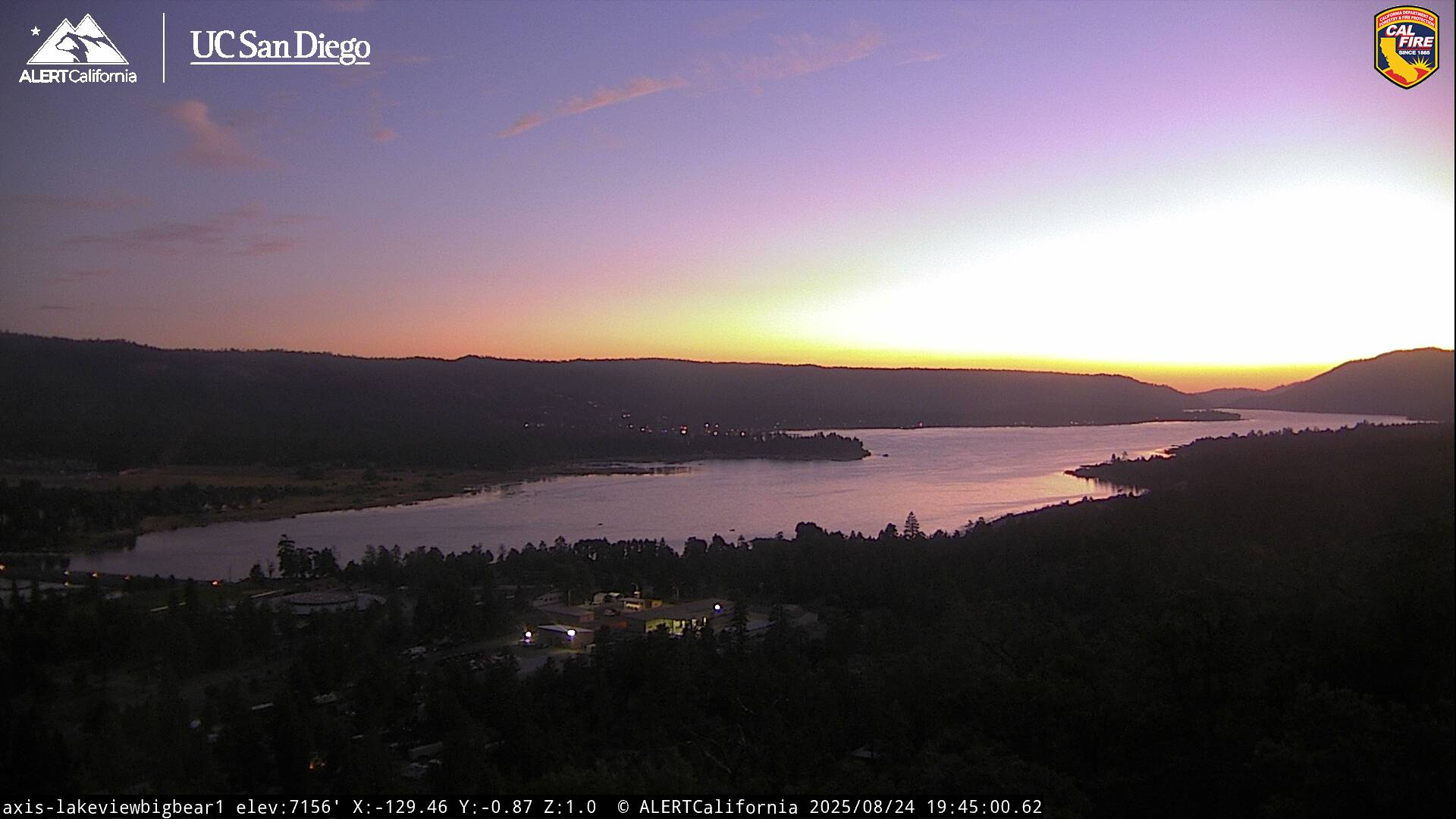
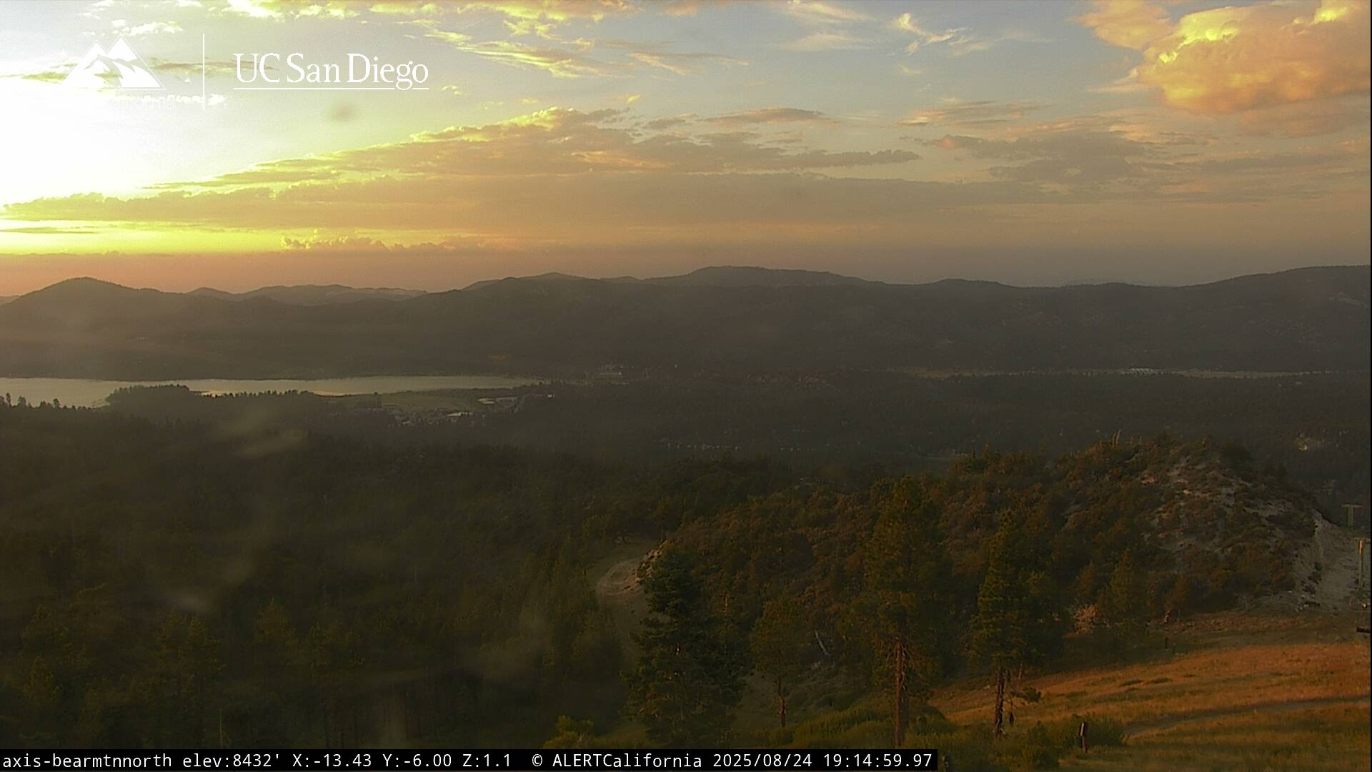
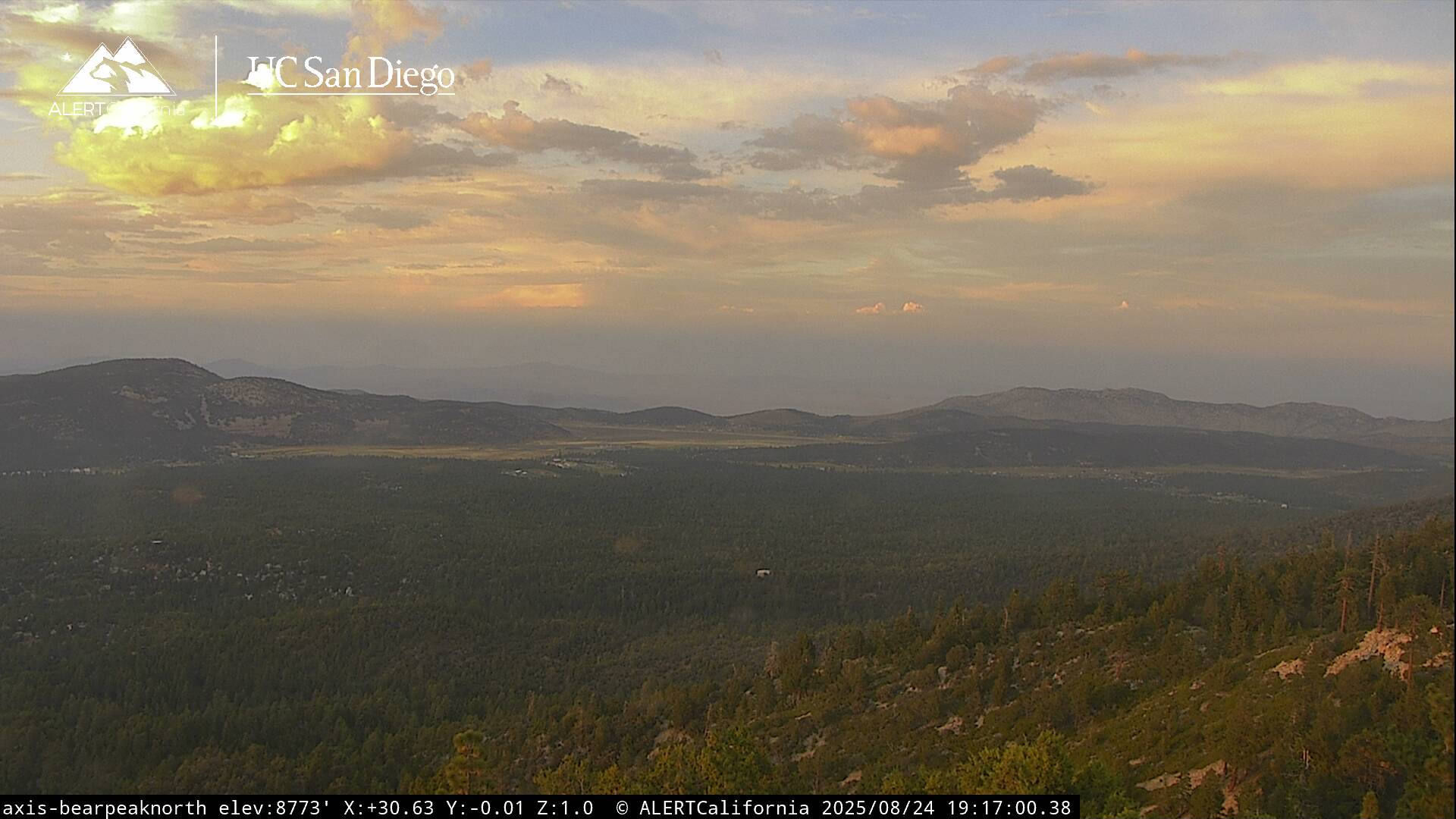
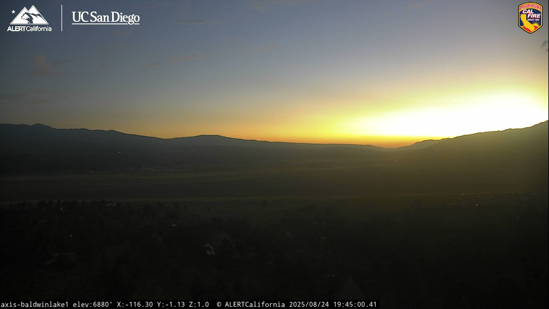
Live Cams